Kuntz Field Research Archaeology
Projects
Patrick Kuntz has been working in the Northern Plains, specifically in Montana, the Dakotas, and Wyoming, for over 25 years, has been permitted by the Montana State Office Bureau of Land Management for 18 years, and has been a Principal Investigator and prime contractor for nearly 15 years.
While the business was organized as Field Research Services, Mr. Kuntz authored Class I Overview of the BLM Lewistown Resource Management Plan Area: Including Portions of Blaine, Cascade, Chouteau, Fergus, Judith Basin, Lewis & Clark, Meagher, Petroleum, Phillips, Pondera, and Teton Counties, Montana. Volume I: Cultural Resources, Parts I and II (Walker-Kuntz and Walker-Kuntz 2010). This represented a comprehensive study of known cultural resources in the Central Montana District of the BLM.
Review of published literature, restricted circulation cultural resource reports, and analysis of the State Antiquities Data Base provided by the Montana State Historic Preservation Office all formed the primary basis for this overview, which summarizes existing information on the cultural resources in the study area. Management recommendations include the identification of gaps in the cultural resource data for the study area, with specific recommendations for historic archaeological site evaluation, traditional cultural property evaluation, and lithic debitage recordation. The overview presented all known archaeological, historic, cultural, sacred, and traditional places in the planning area.
Projects completed by Kuntz Field Research Archaeology include:
2015 Montana State Lands Indemnity Project. A Class III cultural resource inventory of selected lands in the BLM Miles City Field Office area for the 2015 Montana State Lands Indemnity Project. The inventory included over of 4,905 acres.
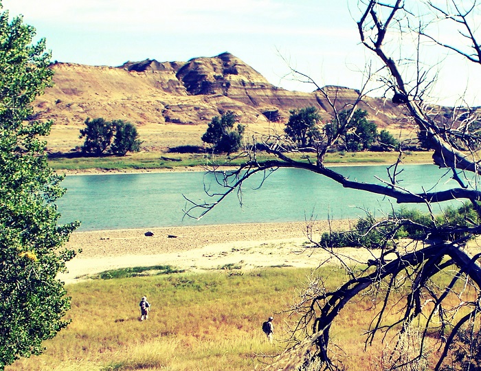
Milk River Class III Cultural Resource Inventory. Inventory of approximately 1000 acres on the Blackfeet Indian Reservation, along the Milk River Ridge, Glacier County, Montana.
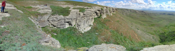
Kevin Rim Class III Cultural Resource Inventory. Inventory of 2150 acres of BLM lands in the Kevin Rim Area of Critical Environmental Concern in Toole County, Montana.
Sweet Grass Hills Class III Cultural Resource Inventory. Completion of a Class III cultural resource inventory of 7,580 acres in northern Liberty and Toole counties in Montana to identify cultural resources in preparation for the Malta Resource Management Plan.
Lewistown Hazardous Fuels Reduction Class III Cultural Resource Inventory. Class III cultural resource inventory for the Lewistown Field Office’s fuels reduction/prescribed burn project. We inventoried a total of 2,803 acres.
Limekiln Gilpatrick Class III Cultural Resource Inventory. Class III cultural resource inventory for the Lewistown Field Office, which inlcuded a total of 1,931 acres.
Malta and Lewistown Prescribed Fire Project Inventory. This was a 10,200 acre inventory for the Bureau of Land Management Malta and Lewistown Field Offices’ fuels reduction/prescribed burn project.
Pumpkin Creek Land Exchange Inventory. This was a Class III cultural resource inventory for the Miles City Field Office's Pumpkin Creek Land Exchange project. We inventoried a total of 5,241.17 acres. Field personnel recorded 29 new sites, and one isolated find. The Conservation Fund contracted us to perform inventory of an additional 8,947.86 acres. Field personnel recorded 66 new sites and 11 isolated finds.